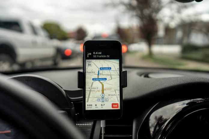
Google Maps, a web mapping service developed by Google provides updates about the real-time traffic conditions, and route planning for travelling by foot, car or any public transport. It is one of the most used applications for navigation data.
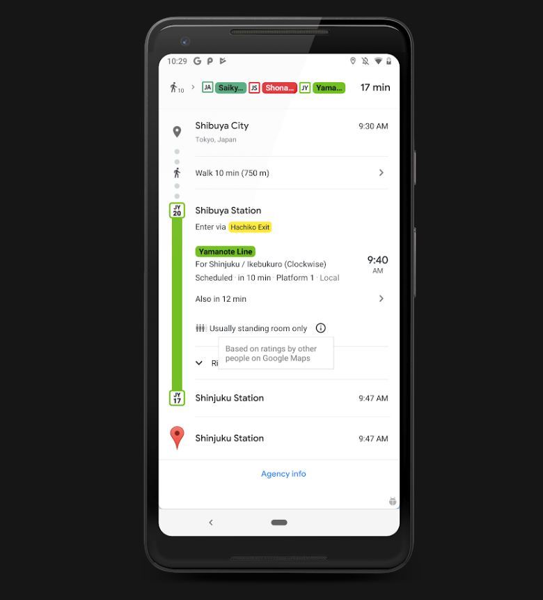
Recently, the company has announced that Google maps will inform users about the level of crowdedness in public transport like bus, trains etcetera. The main purpose of this feature is to avoid masses. Along with this feature, Google has also launched one more feature that updates the users regarding the delay of the concerned train or bus. It also helps the users by notifying the estimated time by which the concerned vehicle is going to arrive.

Google has been working on these features since October 2018. It has been gathering data by sending notifications to some of its users on the level of crowdedness in particular public transport. The user feedback is then analysed on the basis of 4 categories – many empty seats, few empty seats, standing room only. After analysing the feedbacks the Google Map will let users know about the status of crowdedness in the concerned vehicle.
All these new features are going to be beneficial to people as they will get prior information about the unexpected delays in buses and trains and they can also find out how much crowded the concerned vehicle is going to be. These advanced features will for sure make our lives more comfortable and less stressful.

